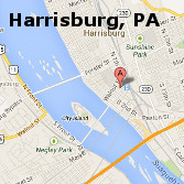
It is estimated that 80% of all data has a spatial component. Placing that data within the visual framework of a map is a powerful tool for promoting visual analysis and contextual understanding. Common methods of extracting, manipulating and displaying the spatial nature inherent in many elements of the Humanities will be the focus of this workshop.
Attendees will have hands-on exposure to ArcGIS software, the most widely used Geographic Information Systems (GIS) software. The workshop will cover the basics of spatial data import, visual manipulation and simple analysis. The primiary objective of the workshop is to enable attendees with a clearer understanding of what this technology can be used for in their field of study.


